

The real story behind Ather’s Pothole+ Alerts isn’t the feature—It’s the data


The electric vehicle industry has spent the last decade talking about connected vehicles. Ather Energy is attempting to show what that connectivity can actually deliver.
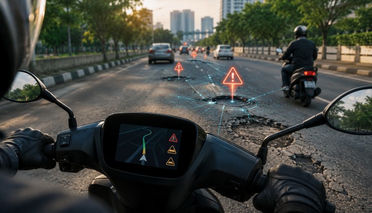
With the rollout of Pothole+ Alerts for its Gen 2 and newer scooters, including the 450 Apex, 450X and Rizta Z, Ather has introduced a feature that warns riders about potholes, broken road surfaces, uneven stretches and speed breakers before they encounter them. More significantly, the system can recommend the smoothest route—not merely the fastest—before a journey begins.
On the surface, it appears to be another navigation enhancement. In reality, it reflects a far larger shift: connected fleets are becoming intelligence platforms capable of continuously mapping the physical world.
The Competitive Advantage Was Never the Algorithm
Announcing the rollout, Ather Co-founder and CEO Tarun Mehta revealed that the feature had been almost nine years in the making. His explanation was telling. “The challenge was never the idea. It was the data.”
That statement captures one of the defining realities of modern AI-powered mobility.
Building algorithms capable of identifying road defects is relatively straightforward. Building enough high-quality, real-world data to make those algorithms reliable across thousands of kilometres of roads is considerably harder.
Unlike traditional navigation systems that rely on manually reported hazards or satellite imagery, Ather’s approach depends on continuous signals collected from thousands of connected scooters travelling the same roads repeatedly. Only after years of accumulating ride telemetry could the company generate sufficient confidence to classify road conditions accurately enough for consumer deployment.
In other words, fleet intelligence—not AI alone—is the differentiator.
Software Is Becoming the Vehicle
Every Ather scooter already carries onboard compute, connectivity and sensors. Historically, these capabilities enabled diagnostics, navigation and over-the-air software updates. Pothole+ Alerts demonstrates what happens when those capabilities begin working collectively rather than individually.
Instead of treating each scooter as an isolated product, Ather is effectively turning every vehicle into a mobile sensor contributing to a continuously updated map of India’s roads.
Each ride improves the quality of the dataset. Each software update makes every scooter smarter without changing its hardware. That is the essence of the software-defined vehicle.
Beyond Navigation
The feature also highlights how navigation itself is evolving. Most navigation platforms optimize for speed. Ather is optimizing for ride quality.
For two-wheeler riders navigating Indian roads, avoiding broken stretches may be more valuable than saving two minutes on travel time. This introduces a different definition of route optimization—one based on rider comfort, safety and vehicle wear rather than simply distance.
As connected datasets become richer, navigation engines could eventually optimize simultaneously for battery efficiency, suspension health, rider fatigue, weather conditions and traffic density.
Pothole+ Alerts offers an early glimpse of that future.
Data Becomes the Product
Perhaps the most important takeaway is that the feature represents a new way of thinking about automotive data. Traditionally, vehicle data has been used internally—for diagnostics, warranty management or service planning.
Ather is using operational data to create entirely new customer experiences. That changes the economics of connected mobility. The more vehicles on the road, the better the intelligence.
The better the intelligence, the more valuable the software. The more valuable the software, the stronger the customer proposition. It is a classic network effect, but built around mobility data rather than social interactions.
The Road Ahead
Mehta has already indicated that Pothole+ Alerts is only the beginning. If road intelligence continues to improve, it opens the door to a much broader ecosystem of predictive mobility services.
Future capabilities could include dynamic hazard prediction, weather-aware route planning, infrastructure quality mapping, accident-prone zone detection, or even anonymized road-condition insights for municipalities and urban planners. Such possibilities extend the value of connected vehicles well beyond transportation.
For years, the connected vehicle narrative has revolved around dashboards, infotainment and smartphone integration. Pothole+ Alerts suggests the conversation is moving in a different direction.
The real opportunity may lie not in making vehicles more connected, but in making roads more intelligent. And that intelligence is being built one ride—and millions of kilometres of fleet data—at a time.