

Can AI help governments decide which climate risks to address first?


By Samhita R, Co-founder & CEO, Resilience AI
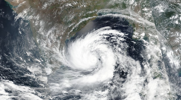
In March 2026, the reservoir behind a 120-year-old earthen dam in Wahiawa, Hawaii, rose six feet in a day and 5,500 people were told to leave their homes. The state’s 2018 hazard mitigation plan had rated a 90-mph Kona storm a once-in-700-to-800-year event. Gusts that month reached 135 mph. Two months earlier, Cyclone Koji struck Queensland. Attention went to its winds, but much of the damage came from floodwater across six river systems.
No natural hazard is a surprise in the broad sense. The global average of 290 days of weather tipping points remain reactive, not anticipated. Historical event modelled forecasts exist. Early warning system alerts support better response. These are training reflex. The missing link is trained decisions which aid every Finance secretary, District collector and City manager to manage around the year adversity and decide to deal with risks faster and better.
The urgency for trained decisions for India is no longer abstract. No government can fortify everything, everywhere. Triage is now the job. Our planning instruments were not built for triage. State Disaster Management Plans are 200 to 300 pages that describe hazards well but rarely say “when X happens, this officer does Y within so many hours.” Risk is averaged across districts. A city report can say that 21 per cent of Bengaluru’s residents live in flood-prone areas and still give a Ward Officer nothing to act on at a waterlogged junction.
Money follows the same blur. Roughly 80 per cent of public disaster spending goes to response and recovery, and 20 per cent to preparedness. Globally, of $1.9 trillion in tracked climate finance in 2023, adaptation received about $65 billion. A risk that cannot be located precisely cannot become a budget line, so it waits for the disaster that makes it visible.
This is where AI earns its place, not as a forecaster but as a ranking engine. Machine learning can process satellite imagery, elevation, drainage paths, surface temperature and structural material together, and rank the physical exposure for each building rather than each district overlayered on the physical-socio-economic vulnerability of the neighbourhood. The differences it reveals are stark.
A retrospective analysis of Wahiawa placed 360 of 507 buildings in the high-risk band, clustered in the subdivision where mud later stood five feet deep inside homes. For Koji, the same approach put 2,107 structures in the top flood categories before landfall, which argued for clearing drains and staging pumps ahead of hardening roofs against wind. AI also surfaces risks that conventional metrics miss. In Delhi’s Sultanpuri, indoor temperatures under tin roofs reached 45.8°C, up to 12°C above official outdoor readings. A heat plan keyed only to weather stations would never have put those homes first, which AI can.
The fiscal architecture is ready for this precision. The Sixteenth Finance Commission now gives a Disaster Risk Index 15 per cent weight in allocating funds to States, built on the interaction of hazard, exposure and vulnerability across ten hazards. The finer that index is resolved, the more closely money can follow preparedness.
None of this means handing the decision to an algorithm without guardrails. A natural hazard exposure and vulnerability ranking is evidence, not a verdict. In Tamil Nadu, a school flagged for heat stress was verified by local stakeholders before anyone acted. NatCat and other models that inherit the past will repeat the error unless it tracks and traces how new construction and revised land use changes exposure. Hawaii’s planners trusted return periods that the climate has since overturned. Precision also guards against well-meant mistakes. Mangrove restoration failed at some sites in Tamil Nadu because the design ignored changes in upstream water flow. It was ecologically sound and spatially wrong. Lastly, ranking is directional. Deciding where to act first decides who is protected first, so methods must be explainable, open to challenge and informed by the people.
The trained decision muscle needs to be a practice. The starting point is inserting micro-space hazard and vulnerability assessment, not a stand-alone building as a standard input to construction permits, state and district plans, refreshed on a fixed cycle. Plans should provide a lean core of triggers, thresholds, owners and actions, with data kept live online rather than in annexures which remain in the library as valuable research references. The critical element of this loop is linking budgets to ranked exposure of spaces, so that a municipal commissioner can see whether ₹12 crore spent restoring one ward’s floodplain avoids ₹30 crore in drainage works later.
AI will not stop a natural hazard lapse into natural disaster. It can indicate which spaces and structures to address first and provide officials a 72-hour head start on which spaces to reach first. In a decade when each year sets a record for extreme weather tipping points, the scarce resource is not data, but the decision about where to begin.